


Aerial mapping: a new standard in planning
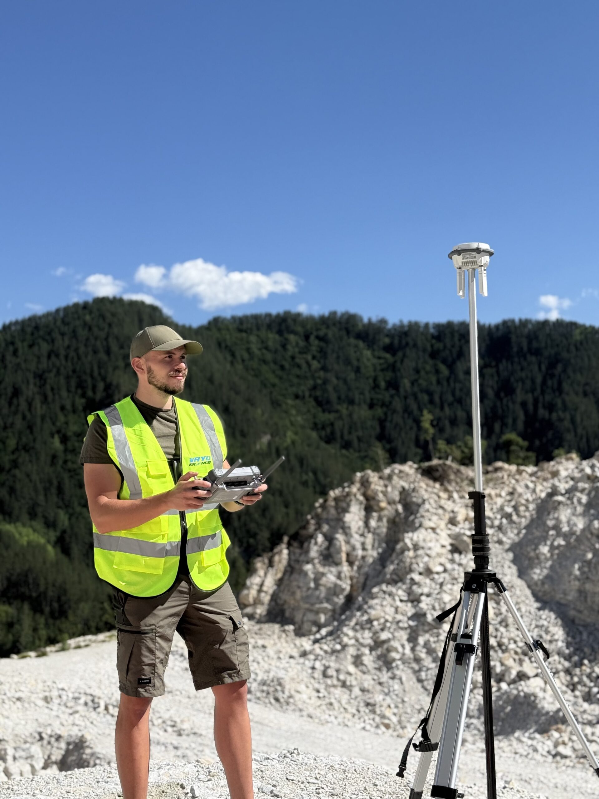
One of the key stages in any construction project is the analysis and preparation of the terrain. Thanks to drones, this is now done with exceptional accuracy and in significantly less time. With specialized equipment and GPS RTK technology, drones collect geospatial data that is converted into high-accuracy orthophoto maps, 3D terrain models, and topographical plans.
These visualizations assist designers and engineers in creating technical documentation, volume calculations, and planning the construction phases. This reduces the likelihood of errors and saves resources even before the first shovel is turned.
Photogrammetry and 3D modeling
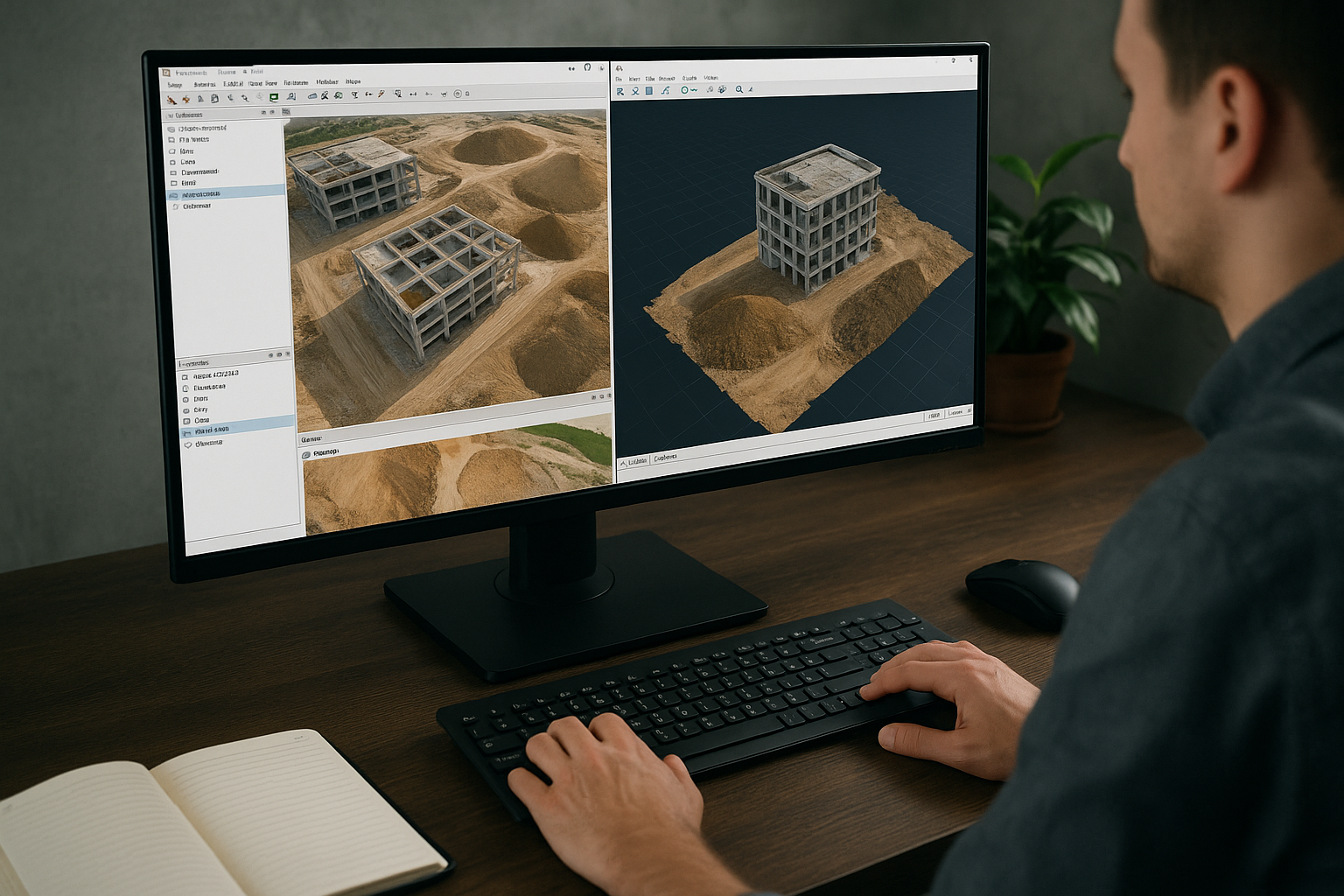
Through the technique of photogrammetry, drones collect thousands of images, which are processed using specialized software. The result - photorealistic 3D models and digital terrain models (DTM), which provide an extremely rich set of data. This allows for analysis of elevation changes, control of excavations and embankments, as well as comparison between planned and actual volume of completed activities.
3D models can be integrated with BIM systems (Building Information Modeling), used in modern construction, which facilitates coordination between the individual participants – architects, engineers, investors, and contractors.
Tracking progress in real time
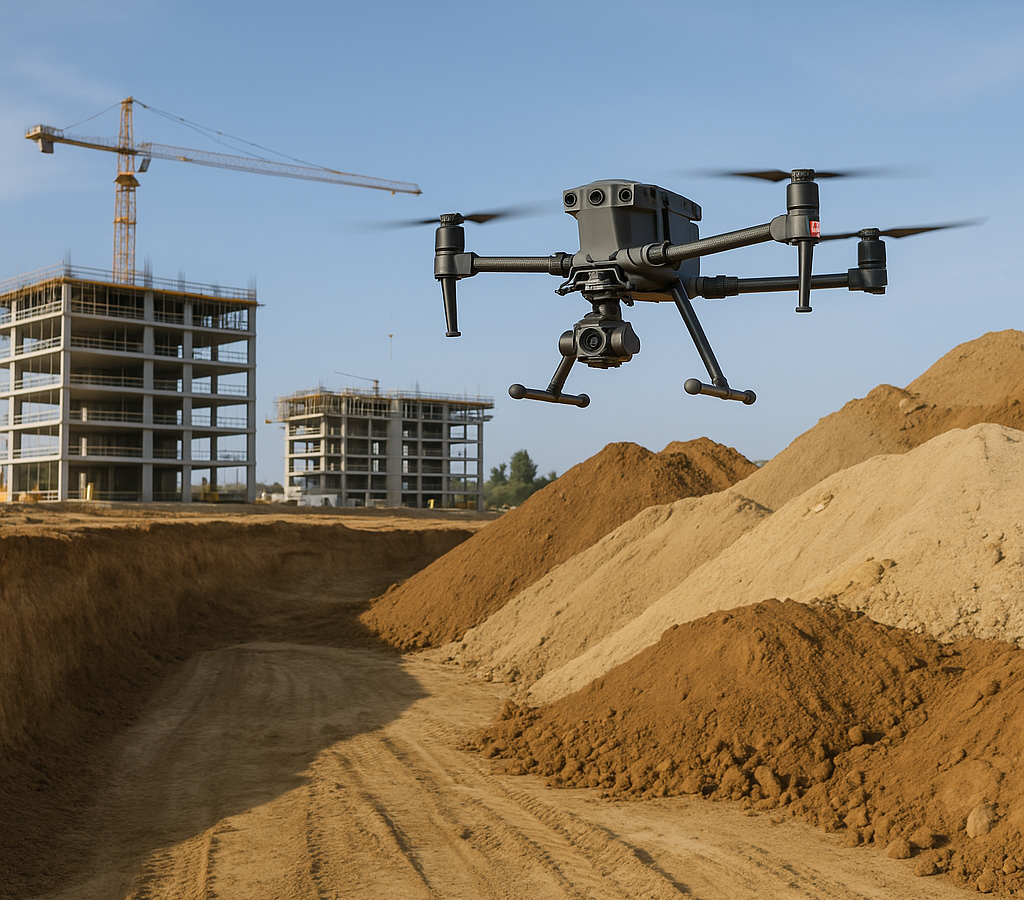
With the help of periodic flights over the construction site, drones provide up to date information on the progress of the project. Imaging can be performed daily, weekly, or according to a set schedule, and the data is easily compared using analysis software.
This transparency is valuable for management and investors, who can track the project's realization without being physically present on site. In addition, video and photo documentation serve as evidence in case of disputes, audits, or handover of work stages.
Safety inspections and quality control
Drones are an indispensable tool for inspecting hard to reach areas such as roofs, tall façades, crane structures, scaffolding, and other critical elements of the construction site. This reduces the need for constructing expensive auxiliary structures or using risky methods like climbing and rope systems.
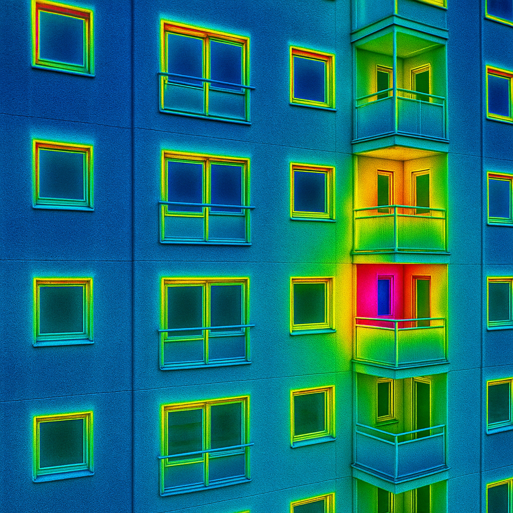
With the help of thermal cameras and sensors, drones can detect hidden defects leaks, cold bridges, poor insulation, or overheating of installations. These discoveries are made on time and prevent serious problems after the completion of the site.
Inspection of advanced construction or a building after receiving the Certificate of Occupancy
Drones find application not only during construction but also after the building is completed. They can be used for technical surveys, periodic checks of roofing systems, facades, and structures, as well as for creating a digital archive of the building - a valuable resource for future maintenance and repair.
Advantages for construction companies
The implementation of drone services in the construction process leads to specific and measurable benefits:
- Reduced costs - less need for human resources, external surveys, and expensive machinery.
- Increased safety - the need for access to dangerous areas is eliminated.
- Faster decision making - with current and objective information from the air.
- Transparency towards investors and partners - through video and 3D visualizations of the site.
- Better control over deadlines and budgets - thanks to constant monitoring.
Contact us today to discuss how drones can optimize your project and save you time, effort, and money. Whether you are planning a new building, an infrastructure site, or a large-scale construction project - we are with you from start to finish.